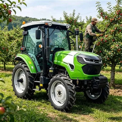
The automatic navigation and obstacle avoidance system on the 260HP tractor operates through the coordinated functioning of a multi-sensor fusion system, an intelligent processing and decision-making system, and an execution and control system.
The following is a detailed breakdown:
Multi-Sensor Fusion System
Laser Radar
Configuration Details: The tractor is equipped with a 32-line mechanical laser radar featuring a 360° horizontal field of view and a 40° vertical field of view, scanning over 1.6 million points per second.
Working Principle: It constructs a 3D point cloud map in real-time, enabling the identification of the contours of field obstacles such as ridges, stones, and residual film piles with an accuracy of ±2 cm. It can detect objects as small as 5 cm, like drip irrigation belt connectors.
Millimeter-Wave Radar
Configuration Details: It includes a 77GHz forward long-range radar with a detection range of 200 m and a speed resolution of 0.1 m/s, as well as a 24GHz lateral short-range radar covering a 50 m range on both sides of the vehicle.
Working Principle: The 77GHz radar accurately determines the trajectory of moving obstacles such as wild animals and agricultural machinery, while the 24GHz radar is specifically designed to prevent scratches during inter-row operations in cotton fields.

Visual Recognition
Configuration Details: It consists of a 2-megapixel global shutter binocular stereo vision camera and a thermal imaging module.
Working Principle: The binocular stereo vision camera, based on deep learning, can distinguish between crops and weeds with an accuracy of 99.3%.
The thermal imaging module can detect the heat sources of organisms, such as livestock that have strayed into the field, with an effective detection range of 80 m, operating in nighttime or dusty environments.
Intelligent Processing and Decision-Making System
Edge Computing Platform
Configuration Details: It is equipped with a Huawei MDC 610 vehicle-grade computing unit with a computing power of 160 TOPS.
Working Principle: It simultaneously processes laser radar point cloud segmentation, image semantic segmentation, and radar signal analysis.
The obstacle classification model has been trained with data covering typical scenarios in northern Xinjiang, enabling the identification of more than 50 types of obstacles.
Path Planning Algorithm
Global Path Planning: Based on the operating area and target location, it generates a global optimal path from the starting point to the target point, taking into account factors such as the boundaries of the operating area, the distribution of obstacles, and the movement limitations of the tractor. It employs classic path planning methods such as the greedy algorithm, Dijkstra's algorithm, or the A* algorithm.
Local Path Planning: According to the tractor's current position and the global path, it generates a short-range path in real-time. It senses the surrounding environment through sensors and avoids dynamic obstacles, using methods such as pure pursuit control, Stanley control, or model predictive control.
Decision-Making Logic
Obstacle Prioritization: The system assigns priorities to obstacles, with organisms taking precedence over hard obstacles, which in turn take precedence over soft obstacles.
Dynamic Adjustment: It adaptively adjusts the bypass radius, with a minimum of 0.5 m, to reduce soil compaction. For example, when an obstacle is detected, it calculates the minimum bypass path based on the obstacle's size and the remaining field space.

Execution and Control System
Navigation Control: The global satellite navigation system, such as GPS/GNSS, receives satellite signals to obtain the tractor's precise positioning and speed information. The inertial navigation system measures the tractor's acceleration and angular velocity, compensating for GPS signal errors.
The two are combined to ensure the tractor's navigation accuracy.
The electro-hydraulic power steering system adjusts the direction in real-time according to the path information provided by the control system.
Speed and Steering Control: The vehicle movement control system controls the tractor's steering and speed based on navigation information.
For example, when the path planning algorithm determines a bypass path, the control system will adjust the steering angle and speed to enable the tractor to follow the new path and avoid obstacles.